Hiking trail around Lake Caputher See

Hiking tours | Länge: 5 km

Kontakt

Tourist-Information Schwielowsee
Straße der Einheit 2
14548 Schwielowsee OT Caputh
Tel. 004933209-70899
info@schwielowsee-tourismus.de
www.schwielowsee-tourismus.de


Tourdaten

Download GPX Daten
Tourbeginn
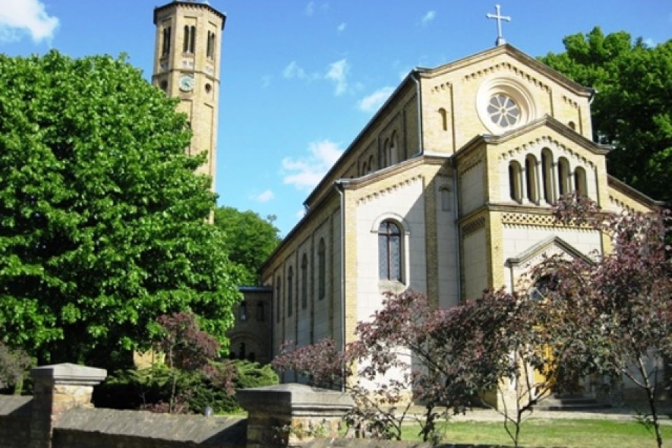
Kirche Caputh
Straße der Einheit 1
14458 Schwielowsee OT Caputh

Tourende
Kirche Caputh
Straße der Einheit 1
14458 Schwielowsee OT Caputh
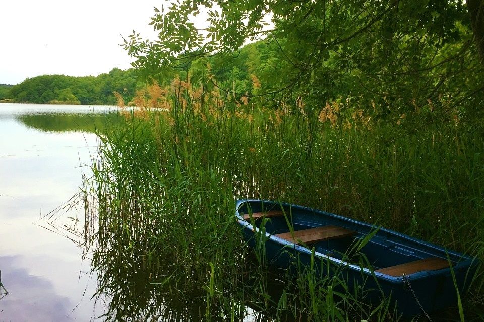
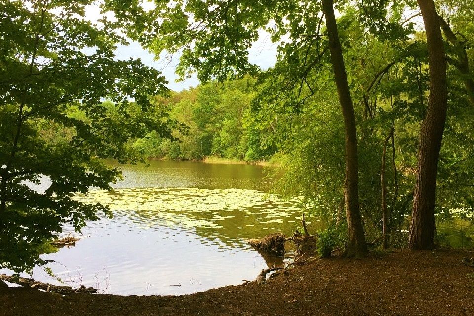
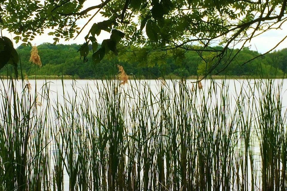
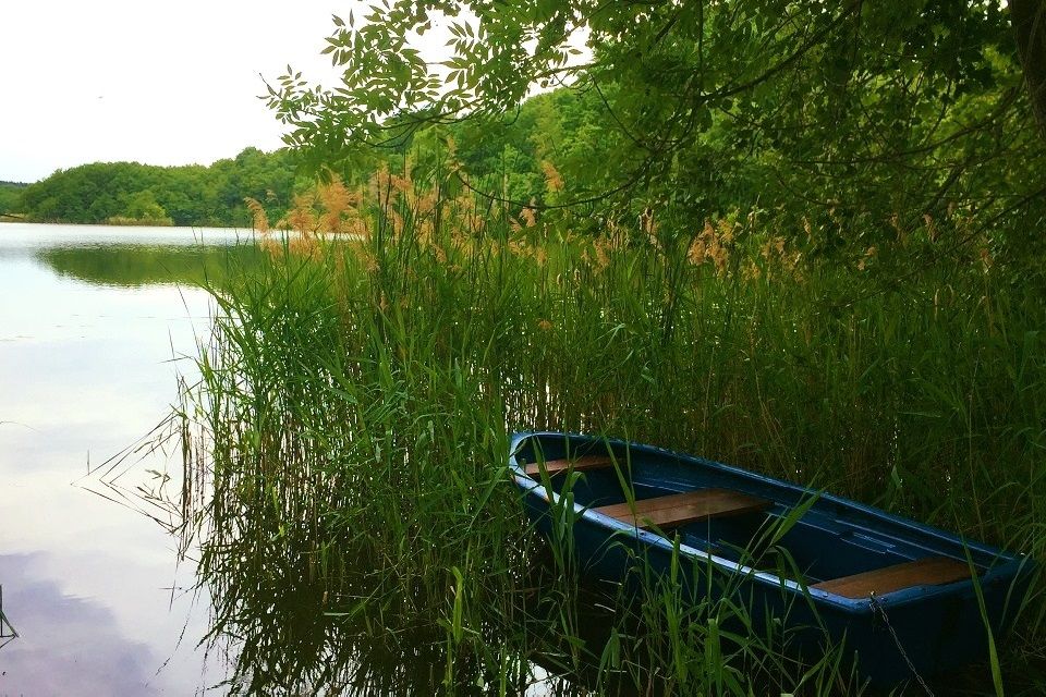
On this hike around Lake Caputh you will find peace, relaxation and unique landscapes. The Caputher See with its area of about 48 hectares is part of the Lienewitz-Caputher lake and wetland chain, in which not only toads and ringed snakes feel comfortable, but also fish such as lead, roach, eel, pike and pikeperch. The shore of the lake is a natural reed belt, here and there there is a bathing area and enough benches for rest breaks. 

Distance: 5 kilometres (approximately 2 hours)

Start/finish: Caputh church, Strasse der Einheit 1
Logo/route sign: yellow dot against a white background
Directions:
  • Public transport: take the RE1 (Brandenburg, Magdeburg) from Berlin central station to Potsdam central station (approximately 20 minutes), then take bus 607 to Caputh House
  • Car: From Berlin Mitte, follow the A 100 and A115/E51 to L73 in Michendorf, leave the A10, exit L73, Potsdamer Str. to Caputh, Strasse der Einheit
Sights:
  • Caputh church
  • Lake Caputher See bathing area
  • Caputh House
Route description: Around the lake there is an easy path which except for a short section runs entirely through unspoilt woodlands. Start your walk in front of Caputh church and walk up Seestrasse for a few hundred metres, following the markings with the yellow dot against a white background. You come then to an unpaved extension of Seestrasse. The lakeside path continues under beautiful old deciduous trees near the lake, staying close to Lake Caputher See. A first place to pause, take a deep breath and swim appears right at the beginning of the hike around Lake Caputh. Further westwards in the area of the marshy sedimentation zone of the lake, the path moves a little further away from the shore. Later, the attractive forest path turns into an asphalt road – Spitzbubenweg. Follow the path until a narrow footpath branches off to the right. Narrow at first, this trail soon widens into a beautiful path along the bank with wonderful views. Take your time and let your gaze wander over the lake and enjoy the tranquility at any time of the year. At the end of this path you will come to another bathing area. After a few metres you reach Gertrud-Feiertag-Weg and then you turn right into the Schmerberger Weg. At the junction Schmerberger Weg/Friedrich-Ebert-Strasse turn right again and you will reach the starting point of the hike. This easy walk does not require any special skills and is suitable for all fitness levels.

Possible combinations:
  • Paths and steps in Caputh – a walk through the town
  • Round Lake Schwielowsee through Caputh, Ferch and Petzow
  • Hiking trail around Lake Templiner See
Maps/Literature: 
  • ​KOMPASS Wanderkarte Havelland, 4in1 Wanderkarte, 1:50000 mit Aktiv Guide und Detailkarten inklusive Karte zur offline Verwendung in der KOMPASS-App., ISBN: 978-3-99044-255-5, Verlagsnummer: WK 745’
  • Grünes Herz: Rad-, Wander- und Gewässerkarte Havelseen 3: Werder, Potsdam: Mit Fahrland, Glindow, Geltow, Caputh, Ferch, Michendorf. Maßstab 1:35.000. ISBN: 978-3-86636-116-4


Route

Supported by the 'TMB Tourismus-Marketing Brandenburg GmbH'. For more information on trips and excursions, please visit www.brandenburg-tourism.com