Distance: 7 kilometres, walking time approximately 2 hours
Start/finish: District of Flottstelle
Directions:
- Public transport: take the RE1 (Brandenburg, Magdeburg) from Berlin central station to Potsdam central station (approximately 20 minutes), then take bus 607 to Flottstelle
- Car: From Berlin Mitte, follow the A 100 and A115/E51 to L73 in Michendorf, leave the A10, exit L73, Potsdamer Str. to Caputh, district of Flottstelle
- Wietkiekenberg observation tower
- former wooden storing point for the rafting "Flottstelle"
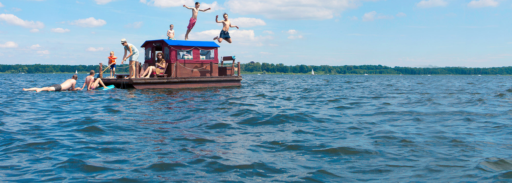
At the bus stop Flottstelle cross the road and follow the signs "Wietkiekenberg" into the forest path to the right and immerse yourself in a landscape shaped by the last ice age. The Fercher Mountains represent a hilly Endmörane and the Wietkiekenberg is with 125 m the highest elevation of Central Brandenburg. A mosaic of remains of pine and oak forests, forests, grassland and bogs, each in different forms, awaits them. In addition, surviving "hut oaks" with an age of up to 500 years testify to the former use for forest pasture or pig fattening. After about 2 km, at the junction with the signpost, turn left and at the next opportunity turn right, slightly up the mountain. Soon you will be invited to tackle the ascent to the observation tower "Wietkiekenberg". The name "wiet kieken ( Low German = weit gucken/sehen") says it all and you can let your gaze wander far over the Havel landscape. On the long-distance hiking trail E 11 (marking: blue crossbar) it goes steeply down to the painter's village of Ferch, which you can reach via the Lienewitzweg. The way back to Flottstelle leads you in the opposite direction on the E11 back into the forest, after about 600m sharply left into the Huteeichenweg. This path bends around a small gorge and then runs above the road towards Caputh. From here you can catch unique views over the wide area of the lake. In front of the campsite Flottstelle you cross the road and go on the bike path to the right and come back to the starting point of the hike. At the former wooden storage point for rafting in Flottstelle you can finally enjoy a view of the Schwielowsee.
Possible combinations:
- Circular walk to the Lienewitz lakes
- Circular trail in and around Ferch
- Fontane Trail F6
- KOMPASS Wanderkarte Havelland, 4in1 Wanderkarte, 1:50000 mit Aktiv Guide und Detailkarten inklusive Karte zur offline Verwendung in der KOMPASS-App., ISBN: 978-3-99044-255-5, Verlagsnummer: WK 745
- Grünes Herz: Rad-, Wander- und Gewässerkarte Havelseen 3: Werder, Potsdam: Mit Fahrland, Glindow, Geltow, Caputh, Ferch, Michendorf. Maßstab 1:35.000. ISBN: 978-3-86636-116-4


Select your language